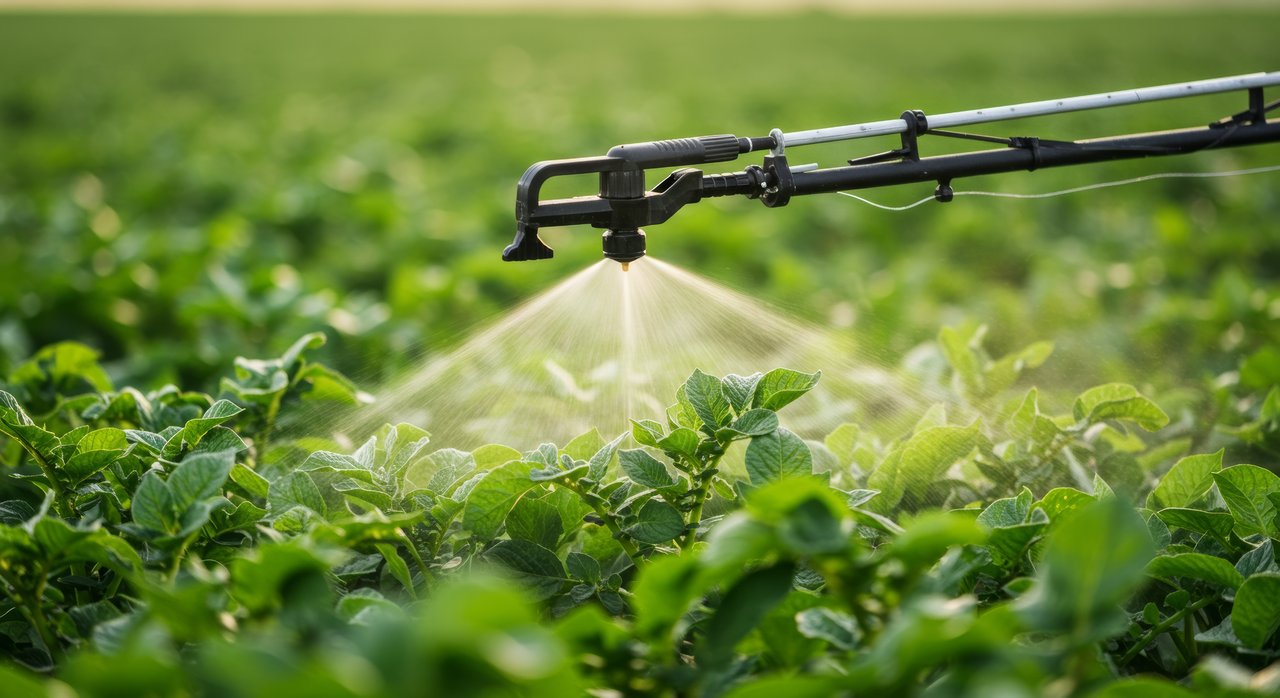

GeoProg addresses the urgent need for more sustainable plant protection practices. By integrating high-resolution Earth Observation (EO) data and AI-optimized methods—such as crop classification, BBCH stage detection, and environmental modeling—GeoProg aims to significantly improve the accuracy and relevance of forecasting models to empower farmers and plant protection service providers to reduce risks and increase efficiency.
The project goals address calls from the German National Action Plan on Sustainable use of Crop Protection Products for more sustainable practices and align with the EU Farm-to-Fork strategy. Current pest monitoring and early warning systems (PM and EHS) often lack the spatial resolution and precision needed for field-specific decision-making.
The project evaluates the suitability of diverse EO products—including land use, plant growth, topography, and microclimate data—for long-term application in PM and EHS methodologies. A core focus is on creating a GIS-based reference database and developing scalable IT infrastructure to ensure practical, long-term usability. Project outcomes will be delivered through web services and mobile tools, enabling accessible, data-driven decision support for sustainable crop management. By supporting field-level precision and ongoing innovation, GeoProg bridges cutting-edge geoinformation technologies with real-world agricultural needs.
You can find more information here: https://zepp.info/verbundprojekt-geoprog/