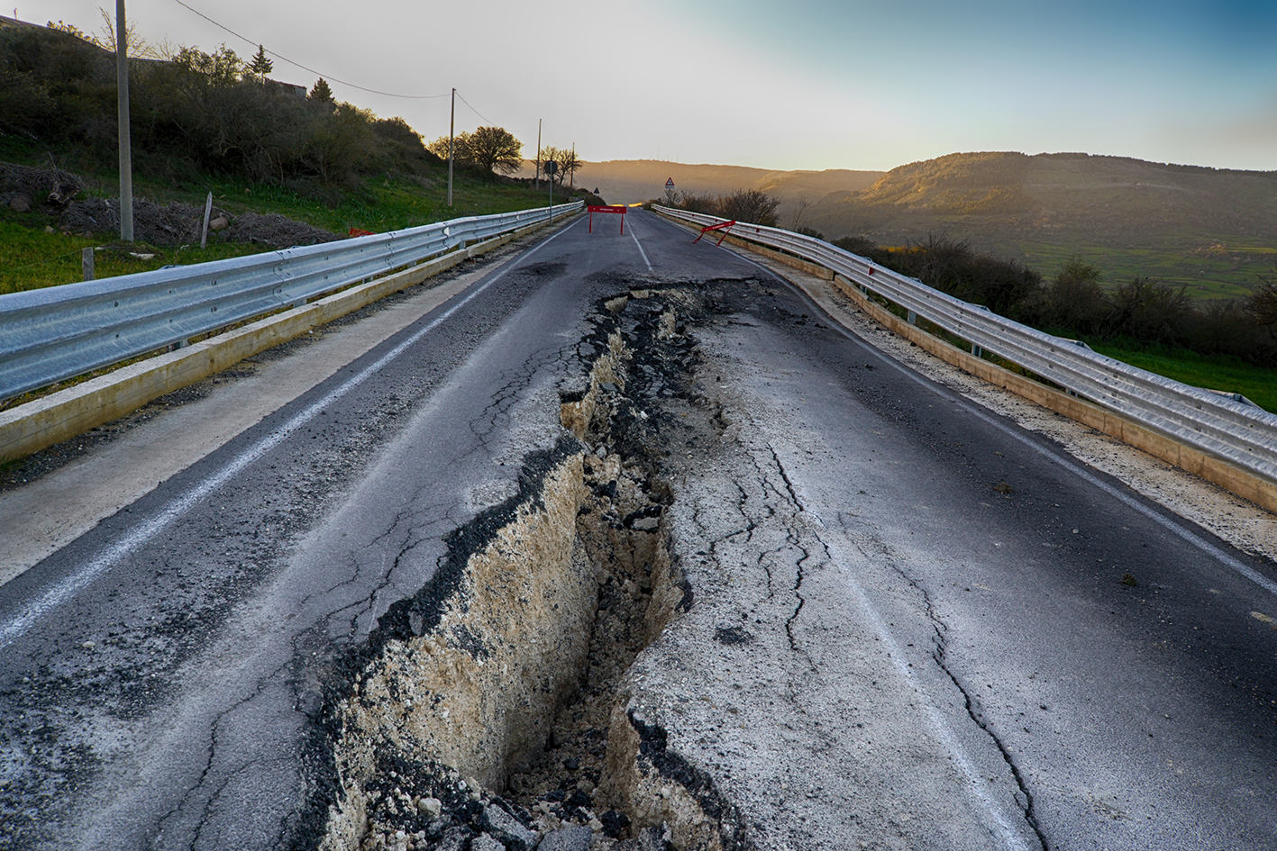
The SAR4Infra project, funded by the Federal Ministry of Transport and Digital Infrastructure, enables time detection of deformations in the cm-range that threaten streets, rails and bridges.
In collaboration with the Schleswig-Holstein State Office of Geoinformation, the Institute for Photogrammetry and Geoinformation Hannover and the State Office for Road Construction and Transport Lübeck existing interferometric assessment procedures will be further developed to enable a dynamic and real-time risk assessment map.
Through the use of open Sentinel-1 Copernicus data, SAR4Infra delivers an added value in comparison to conventional transportation infrastructure monitoring methods.